
Every other national park in Tanzania offers some version of the same contract: a vehicle, a track, and animals seen from it. Udzungwa Mountains National Park offers none of it. It is the only national park in the country with no game-drive circuit, and that single fact shapes everything about a visit.
What is actually there
The park was gazetted in 1992 and covers 1,990 square kilometres. Its General Management Plan gives an altitude range of 200 to 2,576 metres, with Luhomero as the highest point. That spread — from lowland forest to montane — is the reason the place matters biologically, and it is also why walking is the only sensible way to see it. There is no road that could usefully cross that gradient.
The practical consequence is that Udzungwa filters its visitors. Nobody ends up here by accident on a northern circuit tour. People come because they want to walk in forest, and the park is honest about being that rather than pretending to be a scaled-down Serengeti.
The waterfall, and the number everybody repeats
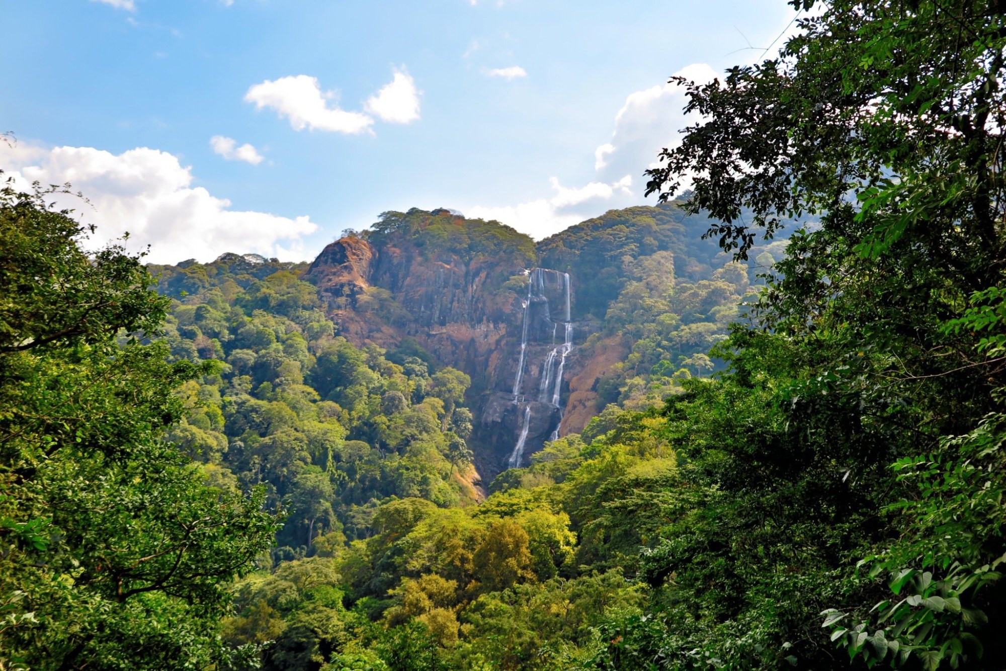
Sanje Falls is the best-known feature, and it is almost always described as a 170-metre waterfall. That figure is real but it is not the whole fall. The park’s management plan describes the descent in three stages — 170 metres, then 30, then 70 — so the widely quoted number is the main drop rather than the full height.
This is a small thing and it is worth dwelling on, because it is exactly the shape of most travel misinformation. Nobody invented the 170 metres. It was lifted out of a document that said something more specific, repeated without the qualifier, and became the fact. A figure being widely repeated tells you how often it has been copied, not how accurate it is.
What the altitude actually means for a walker
A range of 200 to 2,576 metres inside one park boundary is not a statistic about scenery. It is the reason a day here is graded by how far up you intend to go rather than by how far you intend to travel, and it is why two people can describe Udzungwa completely differently. A short walk in the lowland forest near the gate and a climb toward Luhomero are the same park in the way that a canal path and a fell are the same country.
It also means the usual safari question — what will I see — has a less satisfying answer than the one a plains park gives. Forest is dense. Sightlines are metres, not kilometres. What the gradient buys is habitat stacked on habitat, which is worth a great deal if that is what interests you and very little if it is not.
Who it suits
If your picture of Tanzania is a vehicle on an open plain, Udzungwa will disappoint you, and no amount of enthusiasm from an operator will change that. If you would rather spend a day on a forest trail than a day looking for cats, it is one of the few places in the country built entirely around that preference.
It also pairs sensibly with the southern parks rather than the northern ones, which is worth knowing before an itinerary is drafted around it. The Ruaha and Nyerere guides set out what the rest of that part of the country involves.
Operators who run trips here publish their own routes and day structures; you can see what each one actually includes rather than assume a forest park is arranged like a plains one.