A lake that is not always there
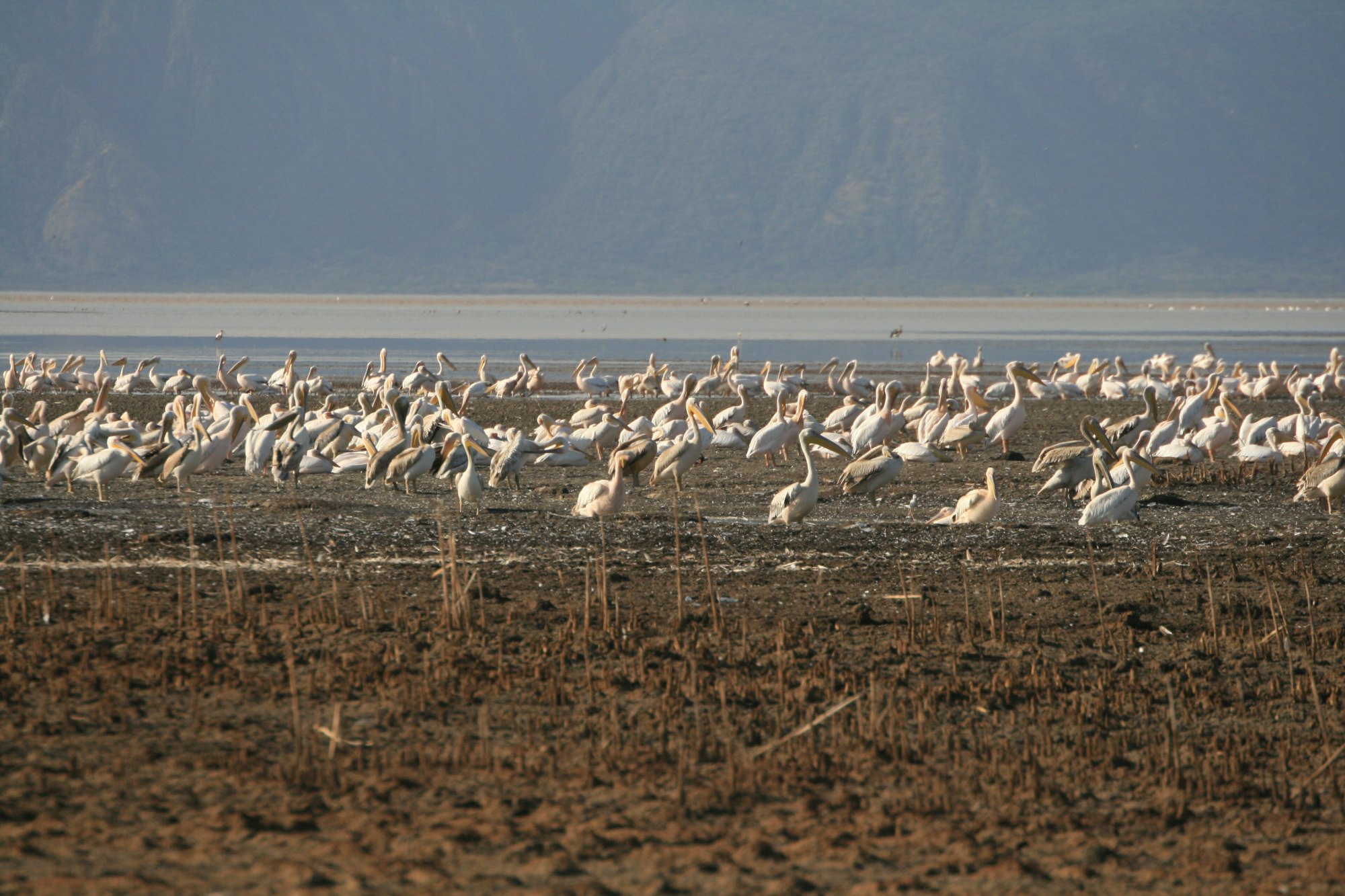
Lake Eyasi lies in the Rift Valley south-west of the Ngorongoro highlands, in a fault-bounded basin below the escarpment, reached by road down from Karatu. It is a seasonal soda lake: shallow, alkaline, and large or small depending on what rain the basin has had.
That last point is worth dwelling on, because it is almost the only thing about the lake’s physical behaviour that any authority publishes. The Ngorongoro Conservation Area Authority, describing the Mumba rock shelter on the north-eastern shore, notes that the shelter currently stands between two and four kilometres from the water, depending upon the lake level. No Tanzanian authority publishes an area, a depth, an elevation or a seasonal calendar for Lake Eyasi. The district councils whose land surrounds it — Karatu, Mbulu, Meatu — publish tourism and fisheries pages that do not mention the lake at all.
The best published description of the basin’s climate comes not from a tourism source but from an archaeological paper by a University of Dar es Salaam researcher, which gives the Lake Eyasi basin a mean annual temperature of 25 to 30 °C and rainfall between 300 and 600 millimetres, falling mostly between March and May. It is hot, dry country, and the lake shore is hotter and drier than the highlands an hour’s drive above it.
Nobody comes here for the lake. They come for the people who live around it and for what is buried beside it.
The Hadzabe and the Datoga
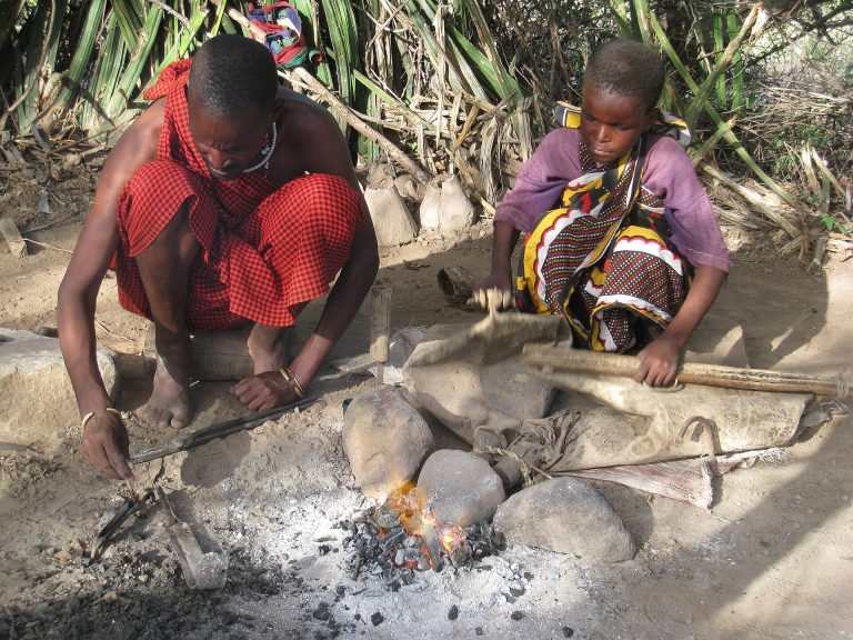
The Eyasi basin is the home of the Hadzabe, and the country around it is also grazed and worked by Datoga pastoralists, whose blacksmiths are among the best-known craftspeople in northern Tanzania. Both are visited, and both visits are sold — almost always together, in the same morning, out of Karatu or a camp near Mang’ola.
This site treats those visits seriously enough to have written them up properly rather than in a paragraph, and anyone considering one should read the guides before booking: Hadzabe cultural visits and Datoga cultural visits. The short version of why they matter is this. The marketing language around the Hadzabe — untouched, Stone Age, the last hunter-gatherers — is not what the academic record describes, and repeating it is the reason most coverage of this area is poor. The documented critique of how these visits are run is substantial, including staged hunts performed on cue and ceremonies held at the wrong times of year for visitors. The payment structure is not publicly documented by anyone, and no Hadzabe-run tourism organisation could be confirmed to exist, which means no visitor can currently be told with confidence where their money goes. A Tanzanian archaeologist writing about the basin lists exploitative tourism practice among the challenges facing the people who live in it.
None of that is an argument for not going. It is an argument for going with questions, and the guides set out which ones.
Land is the other half of the story and it has moved in a better direction. Communal land titles have been issued to Hadza and Datoga communities in the basin since 2011, including twelve titles issued in 2016 covering both groups, which secures at least part of a homeland that had been substantially reduced.
Mumba, and what is in the ground
Near the north-eastern shore of the lake, under an outcrop of metamorphic gneiss, is the Mumba rock shelter — one of the most important archaeological sequences in East Africa, and one the NCAA lists among its archaeological features alongside Olduvai, Laetoli and Engaruka.
The NCAA’s account is worth reading in full if the subject interests you, because it is unusually specific for a tourism authority. A section of sediment nearly eleven metres thick records hominid and human occupation reaching back at least 130,000 years. The industries run from Sanzako at the bottom, a Middle Stone Age assemblage dated between roughly 131,000 and 73,000 years ago, through the transitional Kisele, the early Later Stone Age Mumba industry, and the Nasera industry, up to Holocene and ceramic Later Stone Age layers, with Pastoral Neolithic and Iron Age deposits above them. Remains of both archaic and anatomically modern humans have been recovered. The sediments also record that the shoreline once lay much closer, and that the shelter may have stood near freshwater streams.
The archaeological tours guide covers how sites like this are actually visited, and the legal position on picking anything up, which is less of a grey area than most visitors assume.
Mang’ola, onions and pressure on the basin
Mang’ola, at the head of the lake, is the basin’s market town and an irrigated farming centre. Karatu District Council names onions as a cash crop of the district and singles out the Mang’ola area for them, noting that irrigation lets farmers produce through the year rather than depending on rain, and listing onion storage and packaging among the district’s agro-processing opportunities.
That growth has a cost the academic literature records and the tourism literature does not: the expansion of Mang’ola town draws firewood, charcoal and building material from the surrounding country, and a seasonal influx of fishers adds to the cutting. The pressure on the basin is not abstract, and it sits directly on the land the visits here are sold on. See farm tours and village tours.
Where Eyasi fits
Lake Eyasi is usually a single night, taken between Karatu or the Ngorongoro Conservation Area and the Serengeti, or as a long day trip from Karatu. It also appears on the Ngorongoro Lengai Geopark’s south route, which the NCAA describes as beginning in Karatu and weaving south-west to the north and east sides of Lake Eyasi, with stops including the Endulen oreteti tree, traditional beehives, the Laetoli footprints, a Lake Eyasi panorama, and Datoga pastoralist and blacksmithing culture. Geopark visits require a certified guide provided by the NCAA. The guide to driving the northern circuit covers what the descent from Karatu and the roads around the basin are actually like.
Arrive expecting a cultural and archaeological day rather than a wildlife one, and expect it to be hot. Whether a trip has a night to give it is the question the guide to how long a northern circuit needs works through.
Common questions about Lake Eyasi
How big is Lake Eyasi?
No Tanzanian authority publishes an area or a depth for it. It is a shallow seasonal soda lake whose extent changes substantially with rainfall, and the only official statement on that variability is the NCAA’s note that the Mumba shelter stands two to four kilometres from the shore depending on the lake level.
Is Lake Eyasi a wildlife destination?
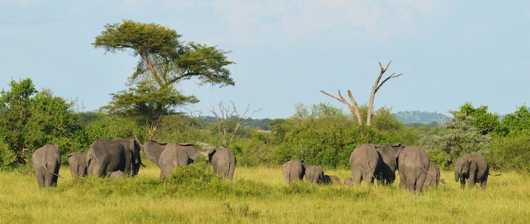
Not in the sense the northern circuit parks are. There is no national park here and no game-viewing product. The reasons to come are cultural and archaeological.
Is a Hadzabe visit worth doing?
It is a decision worth making with information rather than on a whim, and the Hadzabe cultural visits guide sets out the documented record, including what nobody can currently tell you about where the money goes. The same applies to the Datoga visit that is almost always sold with it.
How long does Eyasi need?
A night is typical, and a long day from Karatu is possible. The activities here are early-morning ones, which is an argument for sleeping nearby rather than driving down and back.