
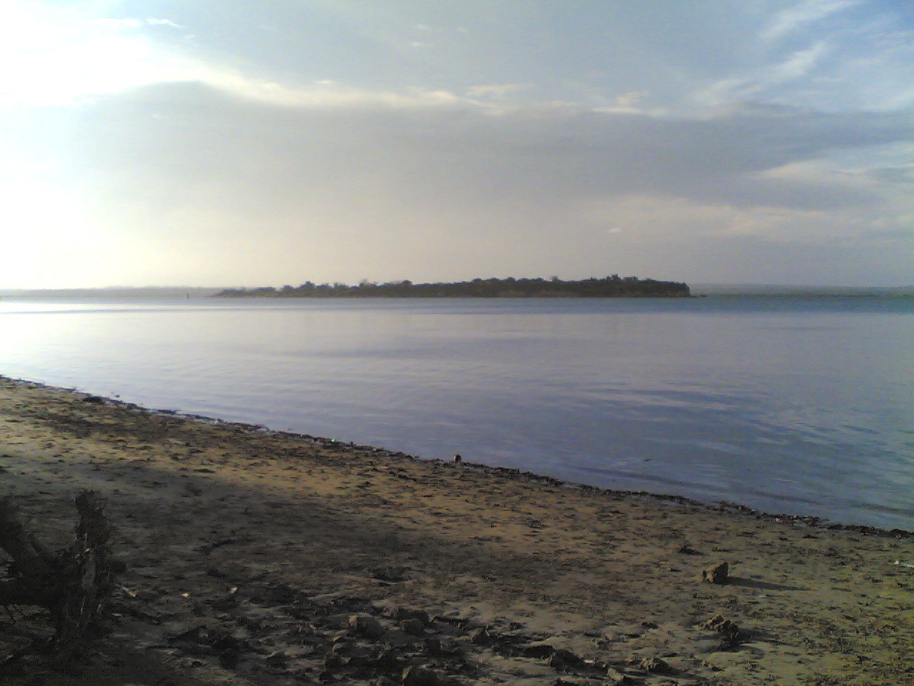
A marine park created for a fish nobody can go and see
Tanga Coelacanth Marine Park protects a hundred-kilometre strip of the northern Tanzanian coast, from just north of the Pangani River estuary up to Mafuriko village on the edge of Tanga city. It covers about 552 square kilometres, of which 467 square kilometres is sea and 85 square kilometres is land, and it takes in the bays of Tanga and Mwambani, the Tongoni estuary and the three small islands of Toten, Yambe and Karange.
It was gazetted by Government Notice No. 307 of 28 August 2009 under the Marine Parks and Reserves Act No. 29 of 1994 — the third marine park on the Tanzanian mainland — and it exists because of an extraordinary run of accidental coelacanth catches off the villages immediately south of Tanga.
What actually happened here
The coelacanth, Latimeria chalumnae, is the CITES-listed fish long thought extinct and rediscovered off South Africa in 1938. The first Tanzanian specimen was taken in 2003, off Songo Mnara near Kilwa, in deep-set gill nets. What followed on the Tanga coast has no parallel anywhere.
Between August 2003 and September 2005, twenty-five coelacanths were caught in Tanzania. Nineteen of them came from what is now the park, over a period of only six months, and included pregnant females. The park’s management plan describes this as the greatest number of coelacanths caught in the shortest time anywhere in the world, and reads it as evidence that the species here is under serious pressure. By October 2010 the recorded total had passed thirty-seven captures, concentrated off the villages of Kigombe, Mwarongo and Mwambani.
Every one of those was incidental — by-catch in deep-set shark nets, known locally as jarife, worked on the inshore seabed between about fifty and two hundred metres down. The park’s zoning scheme responds directly: one core zone, the open sea between Jambe and Karange out to the 200-metre contour, is designated specifically because most of the coelacanths were caught there, and shark nets with a mesh above seven inches are prohibited in it.
This is the point to be blunt about. You cannot see a coelacanth here, or anywhere. The fish lives below recreational diving depth and is known on this coast almost entirely from dead animals brought up in nets. The park is named for something that will never be part of a visitor’s day.
What a visitor can actually do
The honest position is that this park has very little in the way of a visitor product of its own. Its shoreline is a populated working coast — nine villages and nine Tanga city neighbourhoods with around 45,000 residents inside the boundary — rather than a reserve with a gate. The Marine Parks and Reserves Unit publishes no visitor information for the park on its own website. The management plan’s tourism section is written entirely in terms of opportunity rather than provision: it identifies establishing a tourism and research centre at Tongoni as something the park’s communities want, and singles out Mwarongo village south of Tongoni, with its undeveloped beaches and the neighbouring Tongoni ruins, as the area’s most plausible prospect.
What that leaves, in practice, is Tanga’s own coast under a conservation designation:
- The Tongoni ruins and the beaches around Mwarongo, south of the city — see archaeological tours.
- Mangrove. Nine species grow inside the park, heaviest in the river estuaries and on Yambe and Karange islands, with a large tract running between Mtambwe, Ndumi, Mwambani, Jambe island and Geza, and more at Mwarongo, Tongoni and south of Kigombe. Over 200 hectares have been replanted with some 400,000 seedlings, and monitoring runs at Chongoleani. See mangrove tours and conservation tours.
- Reefs and islands, reached by boat from Tanga — snorkelling and scuba diving. Expectations should be modest: the plan records reef fish biomass in the park at roughly 8 kilograms per hectare, against an average of 250 to 300 kilograms per hectare on properly closed reefs, which is a measure of how heavily this coast has been fished.
- Turtles. Three endangered species occur in Tanga waters — olive ridley, green and hawksbill. Nesting has declined sharply through habitat loss and net capture; Maziwe Island, just south of the park, no longer supports nesting populations at all, while Pangani District further south is still an important feeding and nesting area. See sea turtle watching.
Information on dolphins and whales in the park is described in the plan as limited, so nothing should be promised on that front.
Charges here belong to Tanzania’s Marine Parks and Reserves Unit rather than to the national parks authority, which is a different regime with its own schedule — the park was gazetted under the Marine Parks and Reserves Act, not the national parks legislation. The Unit publishes no tariff on its per-park pages, so no figure appears here rather than a guessed one. The guide to which authority charges what in Tanzania sets out how the regimes differ and why an unpublished fee is worth asking about directly.
Background worth knowing
The conservation work here did not start in 2009. The Tanga Coastal Zone Conservation and Development Programme ran from 1994 to 2004 and established community-managed reef closures, some of them voluntary, which the plan credits with safeguarding the integrity of this coastline long before the park existed. Three stakeholder workshops in 2007 and 2008 turned the coelacanth by-catch problem into a conservation planning process, and the park followed.
When to go
The Tanzania Meteorological Authority places Tanga Region in the northern coastal zone, which is bimodal: Vuli from October to December and Masika from March to May. The park’s own plan describes the local seasons in monsoon terms — kaskazi, the north-east monsoon, running roughly October to April with temperatures up to 31°C, and kusi, the southern monsoon from June, cooler at around 23°C but carrying the strongest winds through to about November.
For anything on the water, the wind matters as much as the rain. The calmest conditions are in the kaskazi months outside the rains; the windiest stretch runs through the second half of the year. June to September remains the driest and most comfortable period ashore, which matches the coastal half of Tanzania’s seasonal pattern.
Common questions
Is there a park gate or a visitor centre?
Not as at the most recent official documentation. The park overlays an inhabited coastline and the Marine Parks and Reserves Unit’s own pages for it carry no visitor information. A tourism and research centre at Tongoni is identified in the management plan as an aspiration, not a facility. Arrangements for boats and guides are made through Tanga.
Can you dive to see a coelacanth?
No. The species lives on the seabed between roughly 50 and 200 metres and is known here almost entirely from accidental net capture. No recreational activity anywhere in the world puts divers with a wild coelacanth.
Why was the park created if the fish cannot be seen?
Because the by-catch rate was the highest ever recorded for the species. The park is a fisheries and habitat protection measure first, with tourism as a secondary and largely undeveloped objective.
How does this fit with a visit to Tanga?
It is best understood as context rather than a destination in itself. A stay in Tanga that takes in the Tongoni ruins, a boat trip in the bay and a mangrove walk is a visit to the marine park, whether or not anything announces it as such.