
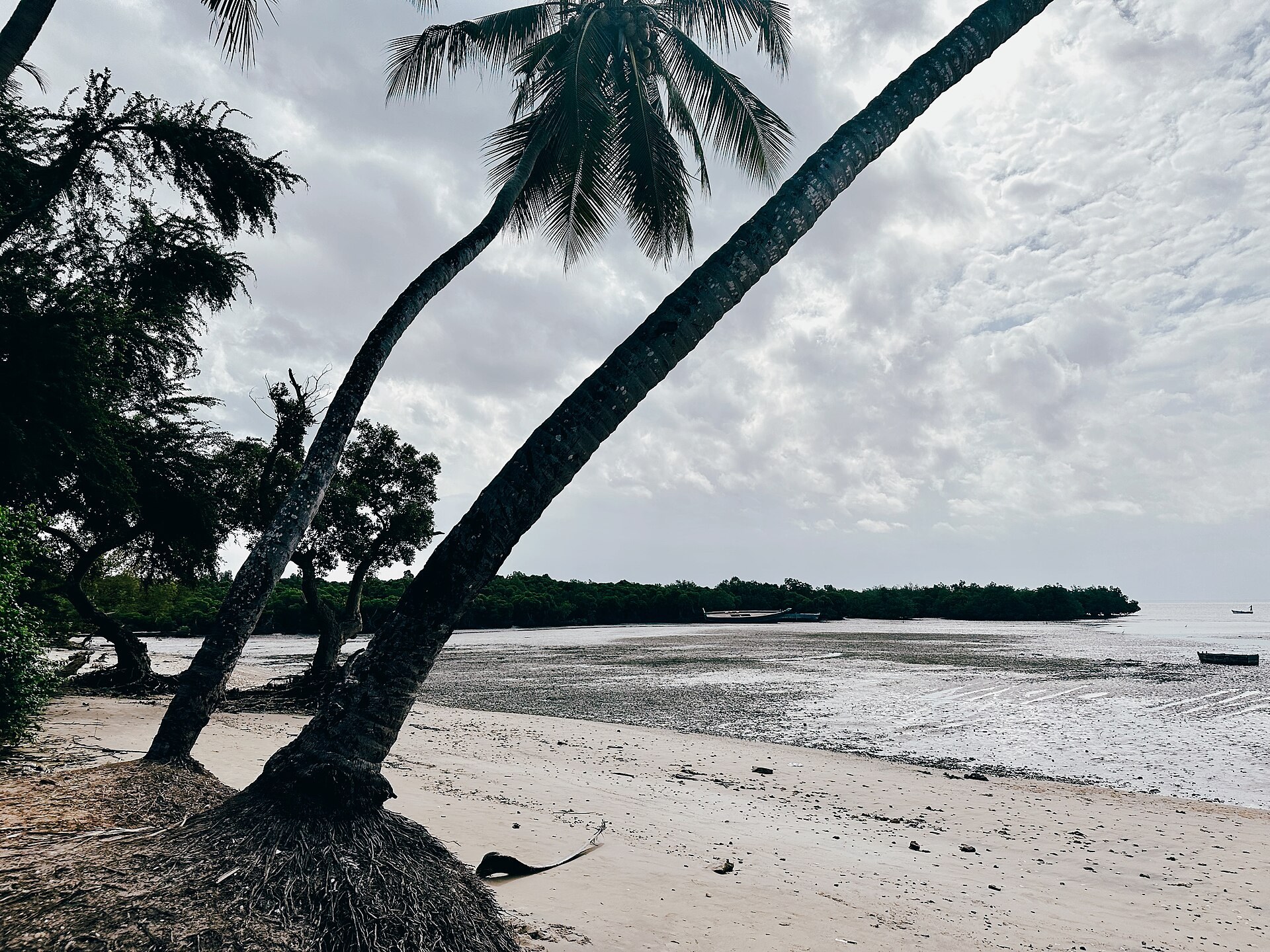
Tanzania’s other port city
Tanga is the country’s northern coastal city and its second port, 350 kilometres north of Dar es Salaam and 250 kilometres south of Mombasa — closer, in every sense, to the Kenyan coast than to the Tanzanian capital. It is a deep natural harbour with a working waterfront, a German and British commercial centre that has weathered rather than been restored, and a hinterland of sisal estates that made it, for much of the twentieth century, one of the wealthiest towns in East Africa.
The city council records the shape of the place plainly enough: an area of 600 square kilometres of which about 62 square kilometres is sea, extending some twenty kilometres inland from the shore at an altitude of nought to seventeen metres, across four divisions, 27 wards and 181 streets. It became a town council after independence in 1961, a municipality in 1983 and a city council in 2005. The 2012 census counted 273,332 residents; the council’s current estimate is a little over 305,000.
What makes Tanga worth a stop is not the city so much as what is within an hour of it: limestone caves, a medieval Swahili ruin field on the shore, three small islands in the bay, a marine park with a genuinely strange claim to fame, and the Usambara Mountains climbing straight out of the coastal plain behind it.
The city itself
Tanga’s old commercial core runs back from the harbour: the German boma, warehouses, the railway that once carried sisal down from the interior, churches and mosques, and a grid of streets that has not been prettified. The Urithi Tanga Museum is the town’s own heritage collection. A walking tour is the right way to read it, for the reasons set out in the guide to historical walking tours, and the Swahili layer beneath the colonial one is covered in Swahili cultural tours.
The harbour and the fish landings are where the city is most itself, early in the morning. Food and market tours run here, and the cooking is distinctly of this coast.
Within an hour of town
The Amboni Caves, north of the city, are a limestone cave system in the Pleistocene and more recent coral limestone that makes up much of this coastline. They are used as a place of worship as well as a visitor site, and they are the best-known cave excursion on the Tanzanian coast. A caution worth stating: figures for the caves’ total extent circulate very widely and vary by orders of magnitude between sources, so none is repeated here. Go for what you can see and walk, not for a superlative. The guide to cave exploration sets out what caving in Tanzania actually involves.
The Tongoni ruins lie south of the city on the shore, at the Tongoni estuary: the remains of a Swahili settlement with a ruined mosque and a field of pillar tombs. The Tanga Coelacanth Marine Park’s management plan names Tongoni and the neighbouring village of Mwarongo, with its undeveloped beaches, as the area’s principal tourism prospect, and identifies a tourism and research centre at Tongoni as something the park’s communities would like to see rather than something that exists. The guide to archaeological tours explains how to read sites of this kind.
The bay and its islands. Toten, Yambe and Karange lie in Tanga and Mwambani bays and are inside the marine park boundary; Yambe and Karange carry mangrove. Mangrove forest is extensive along this stretch of coast, with nine species recorded inside the park, and regular monitoring and replanting — over 200 hectares replanted with some 400,000 seedlings according to the park’s plan. See mangrove tours and conservation tours.
The marine park. Tanga’s entire city coastline and the water in front of it sit inside the Tanga Coelacanth Marine Park, gazetted in 2009 after an extraordinary run of coelacanth catches off villages just south of the city. It is worth understanding what that does and does not mean for a visitor, which its own page sets out.
Inland and along the coast
Tanga Region rises from sea level to around 600 metres, with a coastal plain of grassland, sisal and scattered trees running twenty to thirty kilometres inland before the Usambara Mountains lift abruptly out of it. That escarpment is the single best reason to treat Tanga as a base rather than a night: Lushoto, Amani Nature Forest Reserve and the Magamba forest are all within a morning’s drive, and the temperature drops by ten degrees on the way up.
South along the coast are Pangani at 47 kilometres and, beyond it through Mkwaja, the Madete gate of Saadani National Park at about 146 kilometres. North is the Kenyan border. Tanga is also one of the four places TANAPA lists as a point of departure for hired boats to Saadani. How the northern coast links to the safari circuits by road and air is covered in the guide to Tanzania’s internal travel options.
When to go
The Tanzania Meteorological Authority places Tanga Region in the northern coastal zone, which has two rainy seasons: Vuli from October to December and Masika from March to May. The city council’s own account gives a slightly wider window for the shorter season — September to December, bringing 500 to 800 millimetres — alongside Masika in March to May with 1,000 to 1,400 millimetres and a light rain in July and August of around 100 millimetres. Where the two differ, the meteorological authority’s calendar is the one to plan against; the council’s figures are useful for the relative weight of the seasons.
Temperatures in the city run between about 24 and 33°C. June to September is the coolest and driest stretch, and much the most pleasant for walking the town, the caves and the ruins — the coastal version of the pattern in the guide to Tanzania’s travel seasons. Climbing into the Usambaras from here is a way of escaping the heat at any time of year.
Common questions
Is Tanga a beach destination?
Not primarily. It is a port city with a harbour rather than a resort strand, and the good beaches are south of it around Pangani and Mwarongo. Tanga’s value is as a base with caves, ruins, a bay, a marine park and a mountain range all inside an hour.
How do you reach Tanga?
By tarmac road from Dar es Salaam — the coastal highway — or from Moshi and Arusha across the north. There is an airport with scheduled and charter traffic, and boats run from Tanga to Saadani and across to the islands.
Can you see a coelacanth?
No. The fish that gave the marine park its name lives on the seabed between roughly 50 and 200 metres down and is known here almost entirely from accidental capture in deep-set nets. There is no visitor activity anywhere in the world that puts you in the water with one.
How long is a Tanga stop?
A night covers the town, the caves and Tongoni. Two or three nights makes sense if you are using it as a hinge between the coast and the Usambaras, which is the itinerary it best supports.