
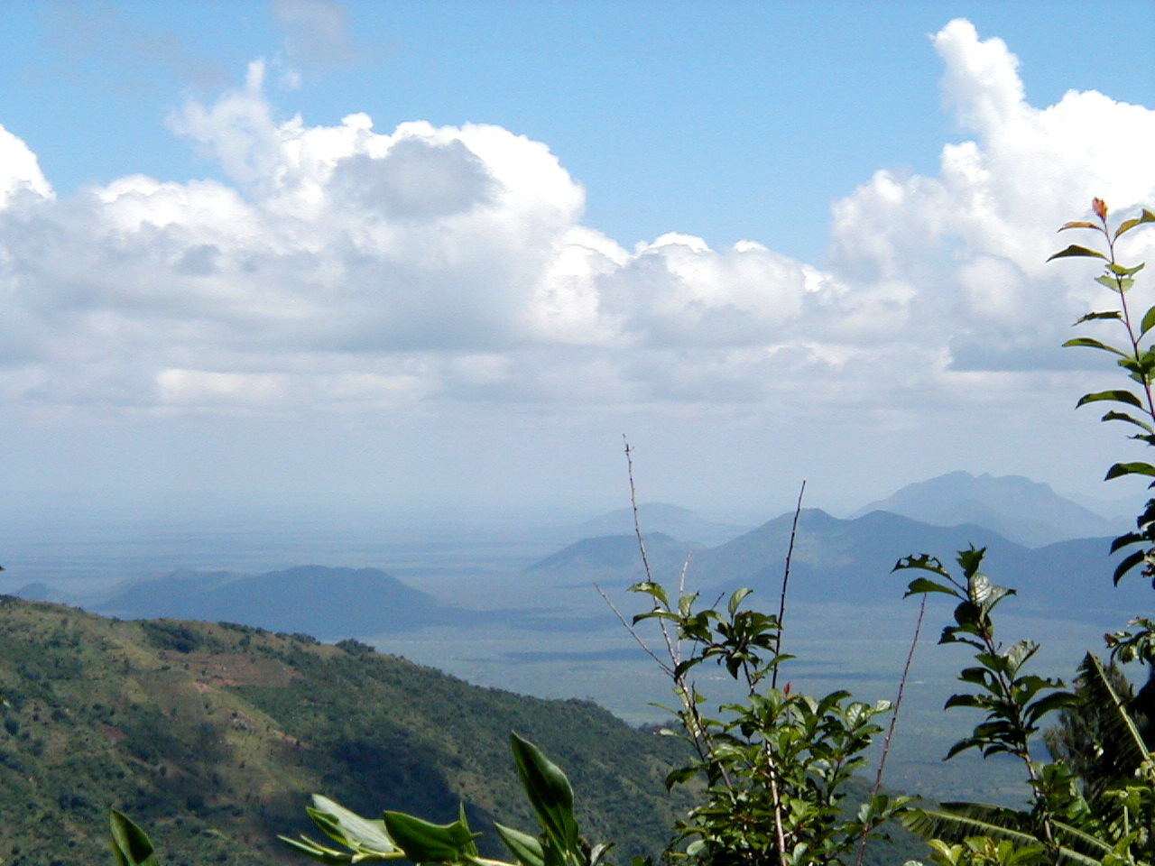
What the Pare Mountains are
The Pare Mountains run north-west to south-east between Moshi and the Usambaras, on the inland side of the Dar es Salaam–Arusha highway. They are an Eastern Arc range — ancient crystalline blocks with forests that have persisted for tens of millions of years, isolated from each other by dry plains, and correspondingly full of species that live nowhere else.
They are also the quietest walking country in northern Tanzania. Where the Usambaras have an established visitor trade, the Pare have almost none, and the difference is immediately obvious on the ground. This is a landscape of terraced smallholdings, clan-owned forest patches, ridge villages and long views out over the Maasai steppe, walked with local guides rather than an outfitter.
North Pare and South Pare
The range comes in two blocks and the administrative split follows them. Same District Council records that the old Pare District covered both and was divided in 1979 into Same District, covering the South Pare, and Mwanga District, covering the North Pare.
South Pare
The higher, more forested half, reached from Same town on the highway. Its high ground is protected as Chome Nature Forest Reserve, which Tanzania Forest Services gives as 14,283 hectares and describes as the largest part of the South Pare Mountains. Shengena is the range’s summit: TFS gives 2,462 metres, Same District Council gives approximately 2,463, and the difference is not worth arguing about.
Same District Council puts the usual trailhead at the village of Chome and the walk at four to six hours return, and notes that reaching Chome village needs a four-wheel-drive vehicle. It also names Ndiva Nkundu as a traditional rain-making and blessing site on the mountain, which is sacred to the Pare and is not a tourist attraction.
Mbaga, Suji, Bwambo and Gonja are the other named centres in the South Pare, with terraced farming, village life and caves that served as shrines and as refuges during periods of conflict.
North Pare
Lower, drier and even less visited, reached from the Mwanga side. Mwanga District Council names Ugweno and Usangi as the historic centres — the traditional heartland of the Northern Pare — and Lembeni on the plain below.
The district’s own tourism material is unusually detailed about what is there. Kindoroko Forest Reserve holds black colobus, butterflies, birds and a wide range of plants. Minja and the two Kamwala reserves hold indigenous trees, small mammals and birds. Alongside the government reserves there are clan forests — mpungi — owned and protected by families rather than the state, around Ugweno, Usangi and Lembeni division, which is a form of tenure worth understanding before you walk into one. In Kileo ward, the Kileo reserve protects the Mtindi and Ivonokwa springs, fed by an underground flow that the council traces to Kilimanjaro.
The viewpoints are the other draw. From the Vuchama Ndambwe area the council describes views over the Nyumba ya Mungu reservoir, the sisal estates at Kisangara and Lembeni, and Kilimanjaro. From Mangatu, Ndanda and the Ngofi hills the view runs east over Lake Jipe, Kivisini and the plains into Kenya. Mount Kidenge in the North Pare is described as a moderate climb through banana and coffee farms, easier than Shengena, with caves on its slopes used historically as hideouts.
The people and the history
The mountains are the home of the Pare, also known as the Vasthu, who Same District Council divides into Northern Pare, in Ugweno and Usangi, and Southern Pare, in Same, Mbaga, Gonja and Chome. Two things they are known for are visible in the landscape: iron smelting, in which Pare blacksmiths were expert and which supplied agricultural tools and weapons across the region, and terraced irrigated farming developed on these slopes over centuries.
The Pare corridor was also a caravan route between the coast at Pangani and Tanga and the interior towards Kilimanjaro and Arusha, long before colonial rule. The German administration later built the Usambara Railway through Same towards Moshi, and under the British, Same became the headquarters of Pare District in the 1920s.
The single most important local event to know about is the Mbiru protest of 1947, when thousands of Pare marched on Same town against a new tax system. The council describes it as one of the significant early civil movements feeding the wider struggle for Tanganyikan independence, and it is why these mountains occupy the place they do in Tanzanian political memory.
What there is to do
- Walking and trekking. Shengena is the objective in the south, ridge and village walking everywhere else. See the mountain trekking guide and the day hiking guide.
- Forest walking. Chome in the south, Kindoroko and the clan forests in the north. See the forest walk guide.
- Birding. The Eastern Arc endemics are the reason specialists come; see the bird watching guide.
- Villages. Terraced farming, irrigation furrows and ironworking history; see the village tours guide.
- Caves. Both districts name caves used historically as dwellings and refuges. What is genuinely visitable is covered in the cave exploration guide.
- Camping. Formal accommodation in the range is thin; see the camping guide.
Getting there and when to come
The range is entered from the highway: Same for the South Pare, Mwanga for the North. TFS puts Same at about 117 kilometres from Kilimanjaro and 444 kilometres from Dar es Salaam. From there the roads go up, and above the tarmac they get rough enough that clearance and four-wheel drive stop being optional.
Mkomazi National Park lies along the eastern foot of the range and is the natural pairing: TANAPA describes the park as reached by road from Moshi or Arusha via Same, with accommodation in Same and the Pare and Usambara foothills.
The bimodal pattern applies, with Vuli from October to December and Masika from March to May on the Tanzania Meteorological Authority’s definitions. The contrast between the hot plain and the cold, misty ridge is extreme here: Same town in the valley can be baking while Shengena above it is in cloud and needs a jacket. Same District Council recommends heavy clothing and proper boots for Shengena because of the cold and the slippery ground, and that is sound. The guide to Tanzania’s weather by season covers how the highland ranges make their own weather against the regional pattern.
Reaching the Pare means leaving the tarmac at Same and climbing on district roads, so a vehicle with clearance and a local driver matter more here than anywhere else in the region — the guide to driving in Tanzania covers where the trunk network stops and what happens after it.
Common questions about the Pare Mountains
Where are the Pare Mountains?
In Kilimanjaro Region, inland of the Dar es Salaam–Arusha highway between Moshi and the Usambaras. The North Pare fall in Mwanga District and the South Pare in Same District, a split made in 1979 when the old Pare District was divided.
What is the highest point?
Shengena, in Chome Nature Forest Reserve in the South Pare. Tanzania Forest Services gives 2,462 metres and Same District Council gives approximately 2,463.
How do you climb Shengena?
Same District Council puts the usual start at Chome village and the walk at four to six hours return, with a four-wheel-drive vehicle needed to reach the village. It is done with local guides.
How do the Pare compare with the Usambaras?
Same geological family, far fewer visitors, and much less in the way of guesthouses and guiding infrastructure. The Usambaras are the easier place to arrange a multi-day walk; the Pare are the quieter place to do one.
What are clan forests?
Forest patches owned and protected by families rather than by the state, which Mwanga District Council calls mpungi and locates around Ugweno, Usangi and Lembeni. They are private and often have ritual significance, so access is a matter of permission rather than a right of way.
Is there wildlife in the Pare?
Forest wildlife rather than plains game: colobus monkeys, forest birds including Eastern Arc endemics, butterflies, chameleons and small mammals. For large mammals the nearby destination is Mkomazi National Park on the plain below.