
One lake, three names, three countries
Lake Nyasa is the Tanzanian name for the lake that Malawi calls Lake Malawi and Mozambique calls Lago Niassa. It is the same body of water, shared between the three countries, with an international boundary running through water that looks continuous. Which name you hear depends entirely on which shore you are standing on, and on the Tanzanian side it is Nyasa.
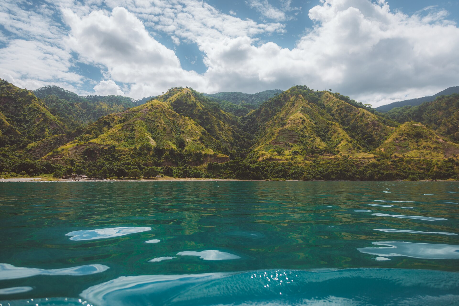
The Tanzanian shore is the northern and north-eastern end, reached at Matema and through Kyela, with the Livingstone Mountains falling steeply into the water behind it. It is the least developed of the three national shorelines and by a wide margin the least visited, which is both its attraction and the reason planning here is harder than it should be.
The fish
Lake Nyasa holds more fish species than any other lake on earth, including at least seven hundred cichlids. That is the reason the lake matters scientifically, and it is the reason anyone with an interest in freshwater biology should see it.
The cichlids are the product of an evolutionary radiation on a scale that has few parallels anywhere: closely related fish that have diverged repeatedly to occupy different rocky and sandy habitats around the lake, often with populations confined to a single stretch of shoreline. In the shallows over rock they are visible from the surface, brightly coloured and territorial, and watching them is a genuinely different experience from anything the coast offers.
It also imposes an obligation. The defensible practice for anyone fishing here is to release what will not be eaten, keep fights short, minimise handling and leave the cichlids alone entirely, because they are the reason the lake is significant. Freshwater fishing on the Tanzanian shore is in any case generally small-scale, local and informal rather than organised, and a visitor is more likely to go out with a village boat than with a charter.
A health warning that most travel writing gets wrong
Lake Nyasa is the cautionary example in the schistosomiasis literature, and this is the single most useful thing on this page.
The lake was long assumed to be free of the parasite. A United States Centers for Disease Control investigation published in The Lancet in 1996 examined a lake widely believed at the time to be uninfected and found transmission. A further study in Emerging Infectious Diseases in 2019 reconfirmed that finding and called for international travel advice to be revised. All three of Tanzania’s great lakes have produced documented infections in visitors.
This guide does not tell anyone whether or not to swim, and it does not specify which stretches of shoreline carry risk, because no source consulted supports that level of detail. What it says is that “Lake Nyasa is bilharzia-free” is a claim with published evidence against it, that it still appears in travel writing, and that anyone planning to spend time in the water should take current travel health advice and know what post-exposure treatment involves.
The shore, and what there is to do
Matema is the best-known point of access and the place with a sand beach, clear water and a mountain backdrop. It is the lake most often swum by visitors, and the combination of freshwater, no tides, no jellyfish and a wall of mountains directly behind is genuinely unusual.
Beyond swimming and sitting still, the realistic activities are boat trips along the shore to villages reachable no other way, village visits including the pottery villages near Matema, walking up into the Livingstone escarpment, and kayaking and paddling where craft are available. This is a beach destination in the sense that the beach is what you came for, and not in the sense that there is an industry around it.
Fishing villages line the shore and fishing is the economy. Visits are widely arranged at Matema, as they are at Kigoma and Ujiji on Lake Tanganyika.
Boats, and what cannot be verified
Ferry travel on Lake Nyasa is genuinely difficult to plan from outside the country. The Tanzania Shipping Corporation states that it operates a number of vessels on the lake from the Tanzanian shore around Itungi and Kyela, but it names no vessels, publishes no routes and issues no timetable.
This guide therefore names no vessel and no frequency, because none could be verified. Ask in Matema or at Itungi rather than planning a lake crossing from a distance. The general position on Tanzanian lake and rail travel is covered in the rail and ferry journeys guide.
Weather and water
Nyasa is famous for sudden strong winds coming off the mountains. They arrive fast, they raise a real sea on a very large lake, and small boats get caught by them. Anybody going out in a village craft should be asking about the weather rather than assuming a calm morning means a calm afternoon.
The Tanzania Meteorological Authority classifies this part of the country as unimodal: a single rainy season from November into April or May, with the second half the wetter. The Rungwe and Tukuyu country immediately inland is among the wettest in Tanzania. The dry months from June to October give the most settled water and the most reliable roads; the wet months bring the lake up, green the mountains and make the escarpment roads a different proposition. The seasonal guide to southern Tanzania sets that single wet season out month by month.
Getting there
The Nyasa shore is a long drive from Mbeya, down through Tukuyu and the Rungwe country and off the escarpment to Kyela and the lake. There are no flights to the shore and no rail connection to it; Mbeya is the nearest town of any size and is served by air, by the TAZARA railway and by the Tanzania–Zambia highway.
It is worth being honest about the information vacuum. Kyela District Council, the local authority covering Matema and the Tanzanian lakeshore, publishes a page headed for tourist attractions that is completely empty. Planning here is done on the ground. The guide to reaching the far south of Tanzania covers how Mbeya connects to the rest of the country, which is about as far as a plan made from outside can reliably get.
Where it fits in a trip
The lake is the bottom of a Southern Highlands loop rather than a stop on a safari circuit. The sequence that works is Mbeya, then Lake Ngozi and the Rungwe massif, then Tukuyu for the tea country and waterfalls, then down to Matema and the lake, with Kitulo reachable from the Makete side for anyone travelling in the flowering season.
For travellers who want a Tanzanian great lake with more infrastructure and an easier arrival, Lake Tanganyika at Kigoma is the alternative, and it comes with chimpanzees.
Common questions
Is Lake Nyasa the same as Lake Malawi?
Yes. It is one lake shared between Tanzania, Malawi and Mozambique, called Nyasa on the Tanzanian shore, Malawi on the Malawian shore and Niassa in Mozambique.
Is it safe to swim?
The lake was long believed free of schistosomiasis and is not. A CDC investigation published in The Lancet in 1996 found transmission, and a 2019 paper in Emerging Infectious Diseases reconfirmed it and called for travel advice to be revised. Take current travel health advice; this guide does not identify which stretches of water are affected because no source consulted supports that.
Can you take a ferry on the lake?
Services exist. The state shipping corporation says it operates vessels from the Tanzanian shore around Itungi and Kyela, but publishes no vessel names, routes or timetable, so this guide names none. Enquire locally at Kyela, Itungi or Matema.
What is there to see in the water?
Cichlids, in enormous variety. The lake holds more fish species than any other on earth, including at least seven hundred cichlid species, many of them confined to single stretches of shore and visible in the shallows over rock.
How do you get to the Tanzanian shore?
By road from Mbeya, through Tukuyu and down the escarpment to Kyela and Matema. Mbeya is reachable by air, by TAZARA rail and by the Tanzania–Zambia highway; the lakeshore itself has no airport or railway.