
What the Southern Highlands are
The Southern Highlands are the cool, fertile, high country in the far south-west of Tanzania: the uplands around Mbeya, Tukuyu, Makete and Njombe, running east towards Mufindi and Iringa and dropping south to Lake Nyasa.
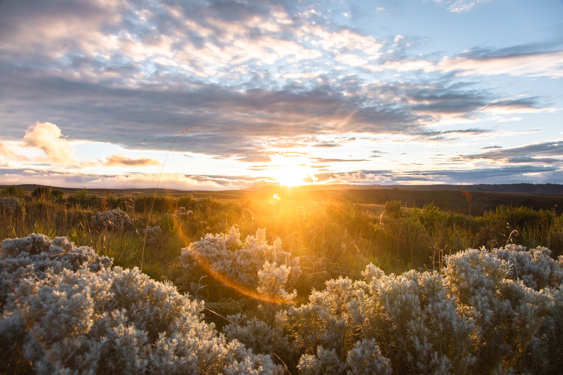
This is not a safari region and it does not pretend to be. There are no big cats here and no game drives. What there is instead is a landscape almost nobody on a Tanzanian itinerary sees: crater lakes in forest, a stratovolcano, tea estates running to the horizon, waterfalls falling off a rift escarpment, montane grassland that flowers like nothing else in Africa, and a climate that requires a jumper. For travellers who have done the northern circuit and want a second Tanzania, this is the strongest answer in the country.
The geology, which explains everything else
The highlands sit at the junction of the rift system, and the volcanic activity that follows from it is the reason the soil is good, the water is plentiful and the scenery is what it is.
Mount Rungwe is the centrepiece: a stratovolcano whose last known eruption the Smithsonian Institution’s Global Volcanism Program places at around 1250 CE. Tanzania Forest Services, which manages the massif, gives its height as 2,981 metres and calls it the highest peak in the Southern Highlands; the Smithsonian gives 2,953 metres. Both figures are authoritative in their own domain and this guide carries both.
Lake Ngozi, in the same reserve, is a caldera lake with a summit elevation of 2,614 metres and a last recorded eruption around 1450 CE. TFS describes it as the second largest crater lake in Africa and notes that it is shaped like the African continent. It has its own guide at Lake Ngozi Nature Forest Reserve.
Around them run the highland ranges: the Poroto, the Kipengere, and the Livingstone Mountains falling into Lake Nyasa. The Kitulo plateau sits between them at around 2,600 to 3,000 metres.
The things people come for
Kitulo’s flowers. The one internationally significant attraction in the region, and the only national park in Tanzania gazetted primarily to protect plants. More than 350 vascular plant species, including 45 terrestrial orchids, of which 31 are endemic to Tanzania and at least three to the park. The season is rain-driven and TANAPA’s own documents disagree on when it starts; December to March is reliable.
Crater lakes and forest walking. Ngozi is the headline, reached on a climb through forest to the rim. The country around Rungwe holds more, including Kisiba, and TFS lists the Lusiba crater lakes among the reserve’s attractions. This is forest walking and day hiking country rather than technical mountaineering.
Waterfalls. The escarpment produces them constantly. Kaporogwe near Tukuyu is the distinctive one, falling from a lava ledge you can walk behind with the Livingstone Mountains in the background. Malasusa, the falls on the Rungwe slopes, and the Ninga and Makwengwe falls in Njombe District are all in the same category: reached on short walks, generally without published heights or formal trails. The waterfall hiking guide sets out what is and is not documented.
Tea and coffee. The Southern Highlands carry the largest tea plantings in Tanzania, around Mufindi and Njombe, with more around Tukuyu. Coffee is the other crop: roughly two thirds to three quarters of the national crop is arabica, and Mbeya, Songwe and Ruvuma form one of the country’s three growing zones. Tea estate visits and coffee tours are both practical here.
Oddities. The Mbozi meteorite west of Mbeya; God’s Bridge, the natural rock bridge over the Kiwira river near Tukuyu; hot springs; and the caves used as refuges during intertribal conflict, including Mlivili and Usalama inside Kitulo.
What the region is not
It is worth being blunt. There is no organised tourism infrastructure across most of the Southern Highlands. Arrangements are local and informal, published route information is thin, and for the Livingstone and Kipengere ranges in particular, no authority publishes durations, permits or guiding requirements at all. Local-government tourism pages across the region are typically empty placeholders.
That is a genuine constraint rather than an invitation to improvise. It means trips here are put together on the ground, that flexibility matters more than a schedule, and that a Southern Highlands leg should not be attached to a tightly timed safari itinerary.
Climate
The Tanzania Meteorological Authority classifies the south-western highlands as unimodal: a single rainy season running from November into April or May, wetter in its second half, rather than the two seasons that govern the northern highlands, the northern coast, the Lake Victoria basin and northern Kigoma. Anyone applying the northern circuit’s short-rains and long-rains calendar to this region will get it wrong.
The Rungwe and Tukuyu area is among the wettest country in Tanzania. Mbeya City Council gives the city 1,200 millimetres a year; Njombe Town Council gives its area 1,200 to 1,400 millimetres, with a cold season from May to August when temperatures drop to around four degrees Celsius.
The planning conclusion: June to October for roads, walking and long views; December to March if the purpose is Kitulo’s flowers, accepting harder driving in exchange. That inversion is the sharpest exception to the dry-season default described in the seasonal guide for the country as a whole.
Getting there and getting around
Mbeya is the gateway, reachable by air to Songwe International Airport, by the TAZARA railway, or by road on the Tanzania–Zambia highway — Tanzania Forest Services gives about 815 kilometres from Dar es Salaam. Njombe and Makete are reached from the A7 and from Mbeya, and Makete District Council notes that of its two main road approaches, from Njombe and from Mbeya, only the Njombe road is currently passable.
A four-wheel drive is not optional here in the wet season, and the ascents onto the Kitulo plateau require one at any time of year. The guide to travelling across Tanzania covers how the region connects to the rest of the country by road, rail and air.
A loop that works
Mbeya for two nights, with Lake Ngozi and the Rungwe massif. Then Tukuyu for the tea country, the Kiwira bridge and the waterfalls. Then down the escarpment to Matema on Lake Nyasa for two or three nights of doing very little. Then back up through Makete for Kitulo if the season is right, and out east through Njombe and Mufindi to Iringa, where the road rejoins the southern safari circuit at Ruaha.
That is a seven-to-ten-day leg. Done shorter, it becomes a series of long drives with brief stops, which is the commonest way visitors are disappointed by this region. It is the clearest argument in the country for reading how many days Tanzania actually needs before committing to a route.
Common questions
Can you combine the Southern Highlands with a safari?
Yes, by road, through Iringa and Ruaha. The two are joined by the A7 and the sequence works in either direction. It is not a fly-in combination.
What is the single reason to come?
Kitulo’s flowering plateau, if you can travel between December and March. Outside that window, the crater lakes, Mount Rungwe, the tea country and the Lake Nyasa shore carry the region between them.
Is it safe to assume the northern circuit’s seasons apply?
No, and this is the commonest planning error. The Southern Highlands are unimodal: one rainy season from November into April or May. The short-rains and long-rains calendar belongs to the north-east, the northern coast, the Lake Victoria basin and northern Kigoma.
Do you need a guide?
In the national parks, yes — guiding is compulsory in TANAPA areas. In the Tanzania Forest Services nature reserves, guides are arranged rather than mandated by published rule, but the paths are unmarked and local knowledge is what makes the difference.
How cold does it get?
Njombe Town Council records a cold season from May to August with temperatures dropping to around four degrees Celsius. Kitulo at 2,700 metres is colder still at night. Pack accordingly.